

NORTH STAR
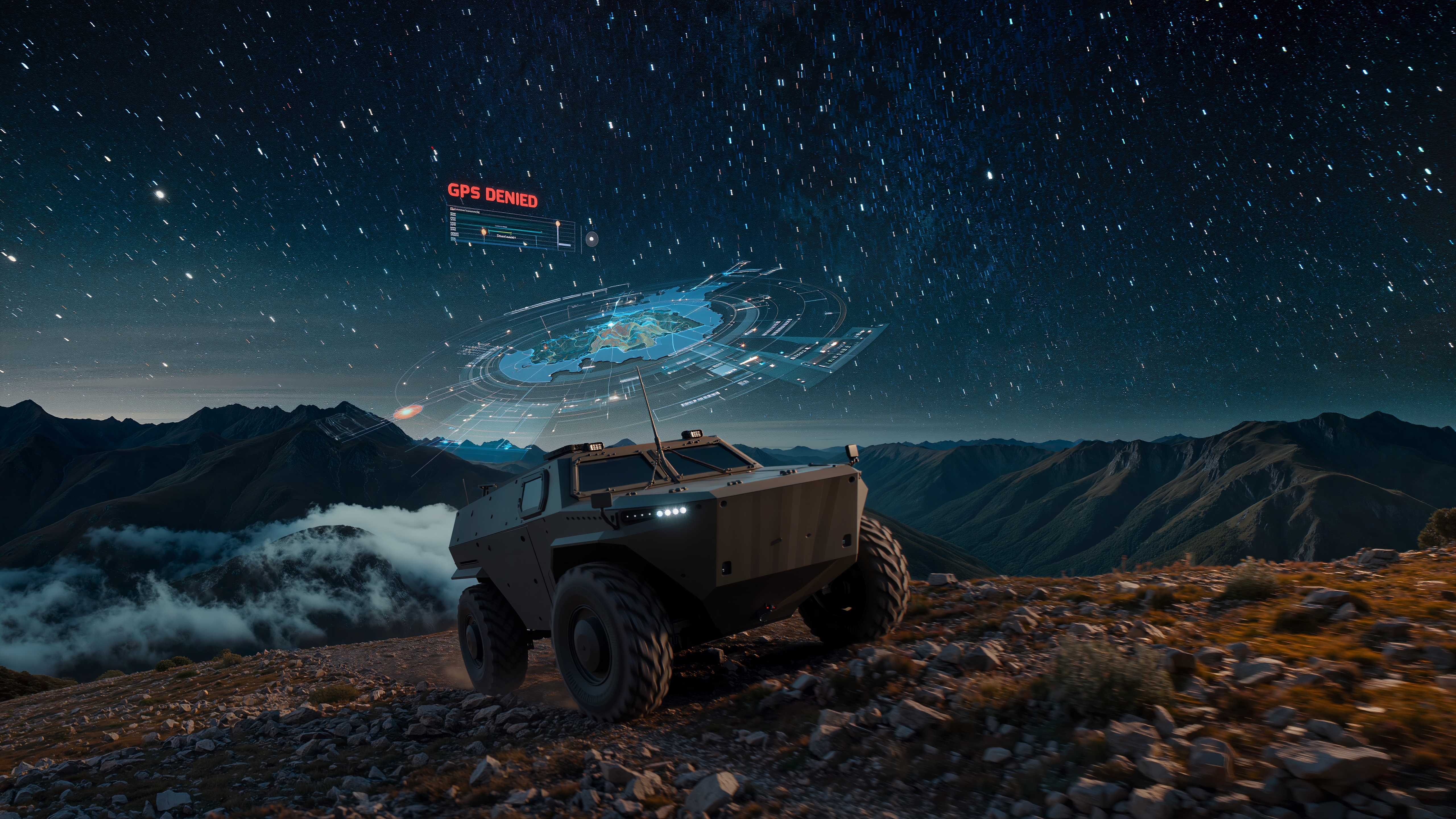
Navigate Without GPS
Multi-modal sensor fusion combining celestial observation, magnetic anomaly detection, inertial measurement, and terrain correlation delivers 10-meter accuracy with 99% availability, even when GPS is jammed, spoofed, or denied.
GPS Is Civilization's Largest Single Point of Failure
A $30 jammer can deny GPS across a 50km radius. Nation-states routinely jam theater-level areas.
The GPS Vulnerability Crisis
GPS signals arrive at Earth's surface at -160 dBW, weaker than cosmic microwave background radiation. Russia routinely jams GPS across the Eastern Mediterranean, Black Sea, and Baltic. Sophisticated spoofing can gradually shift a platform's perceived position without detection.
Every autonomous system, military or commercial, requires continuous, reliable positioning. From the 35,000+ military drones to 33 million projected autonomous vehicles by 2040, the demand for GPS-independent navigation is universal.
Battlefield Necessity
In contested urban environments, GPS availability drops below 40%. Precision-guided munitions, autonomous ISR platforms, and ground vehicles all require navigation that cannot be denied by a $30 device.

Multi-Modal Navigation Fusion
Four complementary sensor modalities fused through a federated Extended Kalman Filter.
Celestial Navigation (Star Tracker)
Miniaturized CMOS star tracker matches observed patterns against 58,000-star catalog. Provides absolute attitude (1 arcsecond) and position. Immune to jamming, no emissions, works at any location. ML-enhanced for daytime and thin-cloud operation.
Magnetic Anomaly Navigation (MagNav)
Vector magnetometer array with sub-nanotesla precision correlates against high-resolution magnetic anomaly maps. Passive, works underground/underwater, cannot be spoofed. Maps stable over decades. 50-100m accuracy in surveyed areas.
Inertial Navigation (IMU)
Navigation-grade MEMS IMU with fiber-optic gyroscope augmentation. 400Hz 6-DOF motion tracking provides the continuous "backbone" between absolute fixes. Completely self-contained, no external signals required.
Terrain-Relative Navigation (TRN)
Dual-mode radar altimeter + SAR imaging. Correlates observed terrain against DTED databases. All-weather operation. 5-10m accuracy in varied terrain. Complemented by celestial/magnetic over flat terrain.

GPS Alternatives: A Multi-Billion Dollar Infrastructure Need

Integrated Multi-Modal vs. Single-Sensor Approaches
vs. Enhanced INS (Honeywell, Northrop)
Pure inertial systems drift unbounded without aiding. NORTH STAR's four modalities continuously bound drift, keeping error below 10m indefinitely.
vs. Vision-Based Navigation (BAE, L3Harris)
Camera-based systems fail in darkness, fog, and smoke. NORTH STAR operates in all weather through radar-based TRN and passive magnetic/celestial sensing.
vs. eLoran / Pseudolite Systems
These require infrastructure deployment (transmitters). NORTH STAR is fully self-contained, no infrastructure, no external signals, no dependencies.
Federated Fault Tolerance
If any sensor fails, the system automatically detects and excludes it. Graceful degradation across all environmental conditions, no single point of failure.

Target Applications
Defense & Security
Autonomous vehicles and missiles in contested environments
Disaster Response
Search and rescue drones in infrastructure-denied zones
Mining & Resources
Underground and remote autonomous operations
Space Systems
Lunar and planetary surface navigation